Nestour GPS 0.15.0 · Android, Windows, Linux

Everything it does, task by task

One section per thing a traveller does. Lines marked 🆕 arrived in releases 0.13 to 0.15.

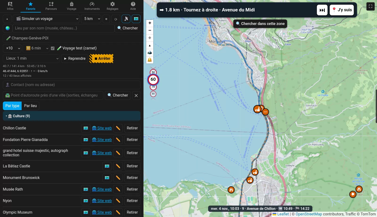
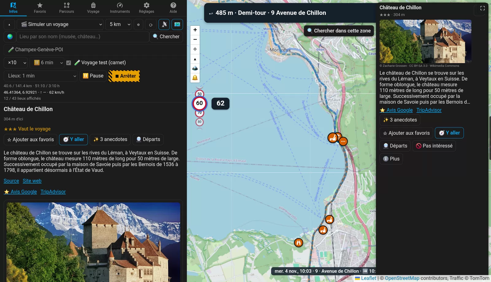
Château de Chillon rated three stars on the map, with its card and photo

Explore

Around you and ahead

  • The places worth a stop, rated ★ to ★★★, with a photo, the Wikipedia article, opening hours and contact.
  • The ones ahead on your road, announced before you pass them.
  • ✨ 3 facts about a place, written by your own AI (Gemini, Claude, ChatGPT, Mistral, Groq, Ollama…).
  • 🆕 Descriptions in your language more often: the article in the place’s own language (German in Hamburg) before English, translated by your AI.
  • The next buses, trains and boats near a place.
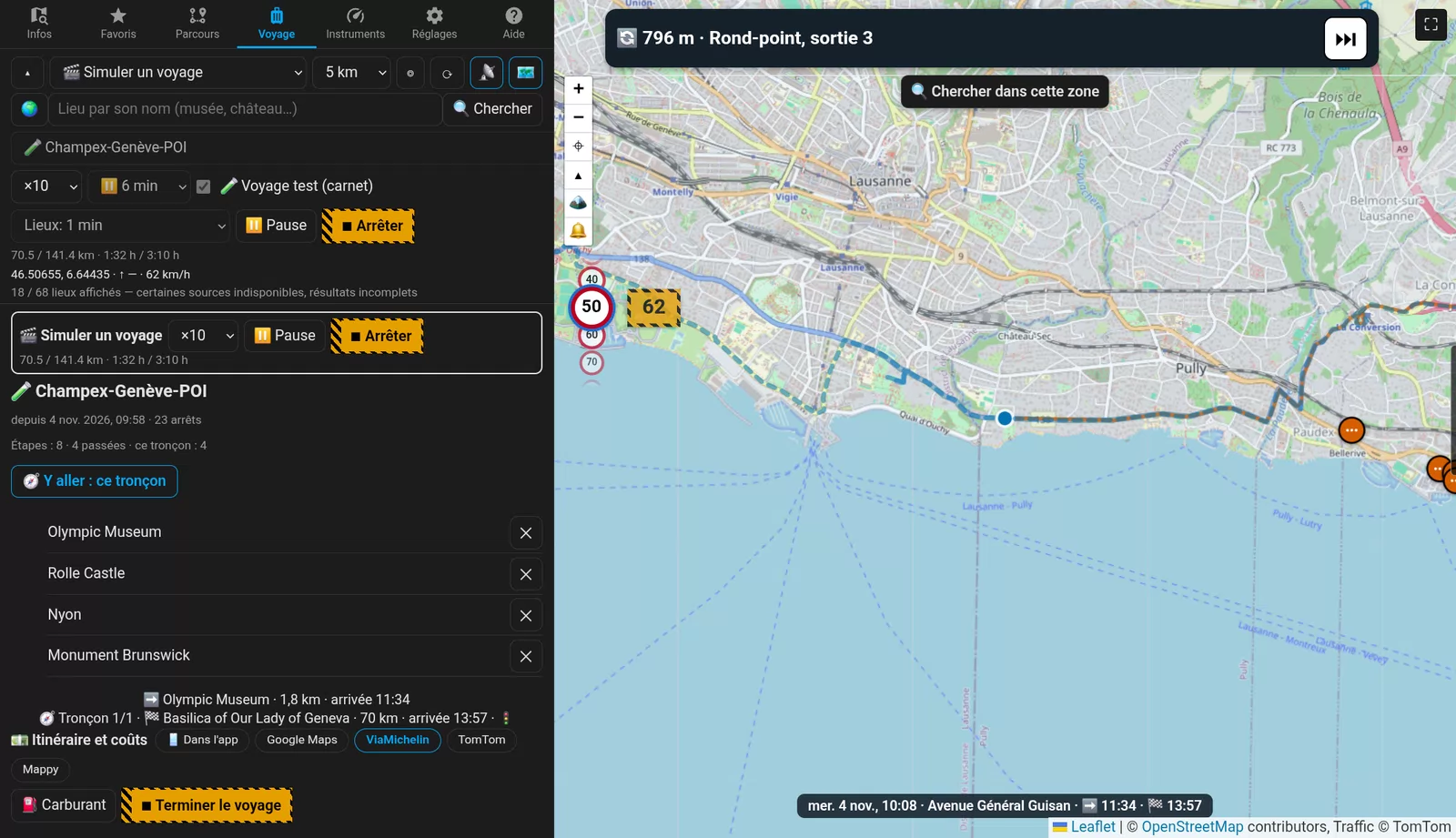
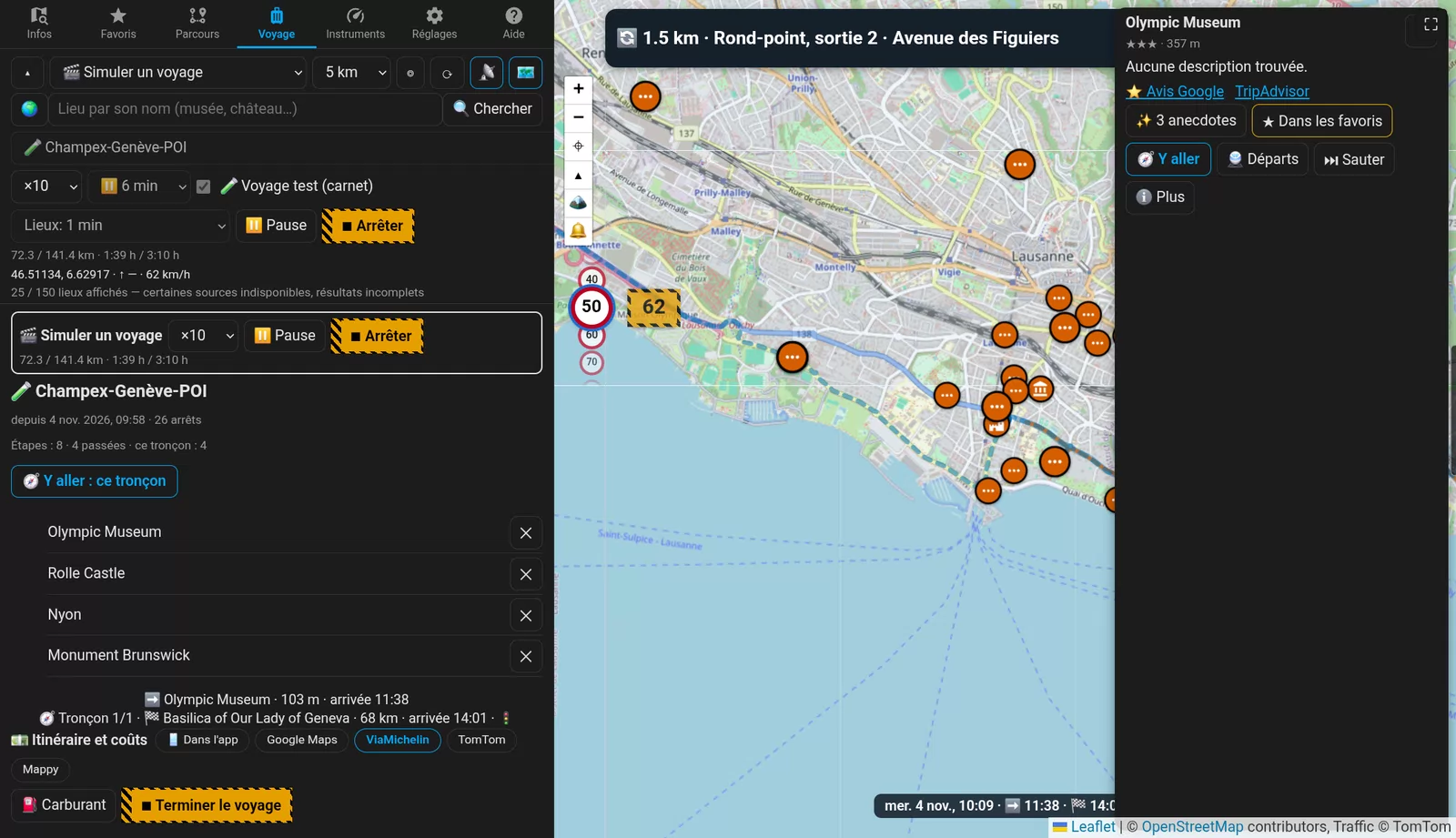
A trip plan with its stops and arrival times

Plan

A real day

  • Plans with a visit time per stop (1 min to 10 h), free time, leave at / arrive by.
  • Driving limits, days split into stages, a break reminder, a live arrival time.
  • Trip costs: fuel, data, detours.
  • 🆕 Go with In the app · Google Maps · ViaMichelin · TomTom, by car and by motorbike.
  • 🆕 Simulate the trip at ×1 and ×5 (as well as ×10, ×60 and ×300) to rehearse it calmly.
The speed limit and the next ones, with your speed beside them

On the road

Guidance that follows the road

  • Turn by turn, spoken in your language.
  • 🆕 Lanes and exit signs in the banner: one arrow per lane, the lanes to take in blue, the sign with its number, road and towns.
  • 🆕 Smart automatic zoom: town streets close up, the whole search radius on the motorway, and it zooms in before a junction or a ★★★ place.
  • 🆕 Speed signs that follow the TomTom route, right on the motorway and right after the exit.
  • Traffic ahead, jams and roadworks, with a free TomTom key.
  • Arrival times at the next stop and the destination, on the map.
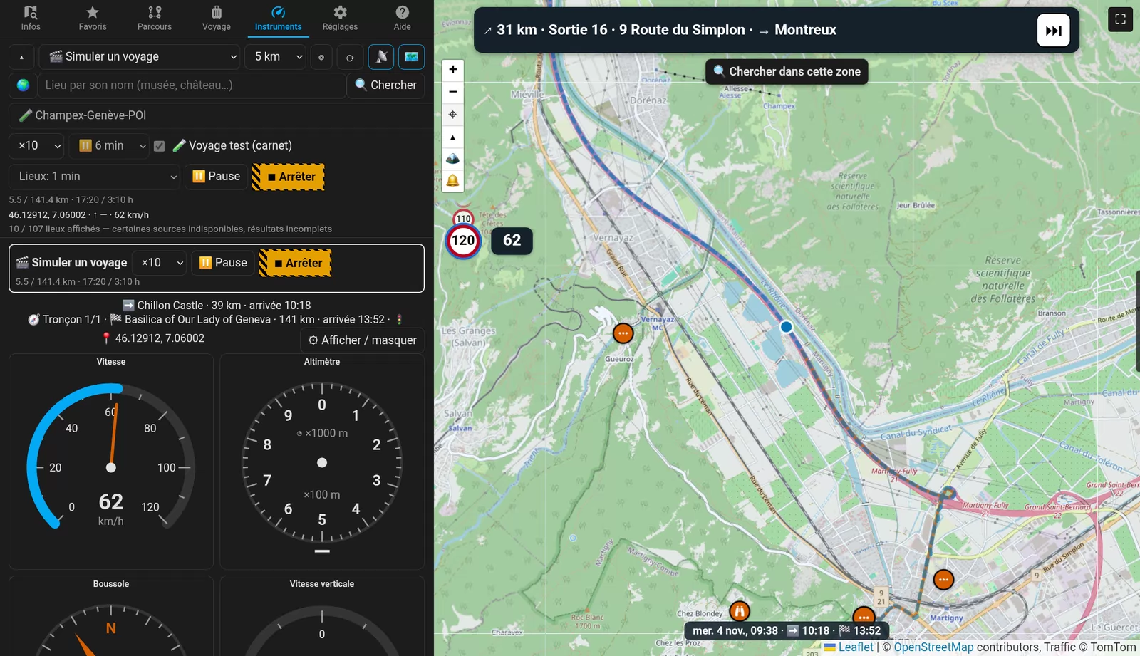
Instruments: speedometer, altimeter, compass, vertical speed

Instruments

The trip’s dashboard

  • Speedometer, altimeter, compass, vertical speed, and a trip computer that carries on from your car’s figures.
  • 🆕 ⚙ Show / hide: keep only the dials you want, on this device.
  • A USB GPS on a PC, or the phone’s own GPS.
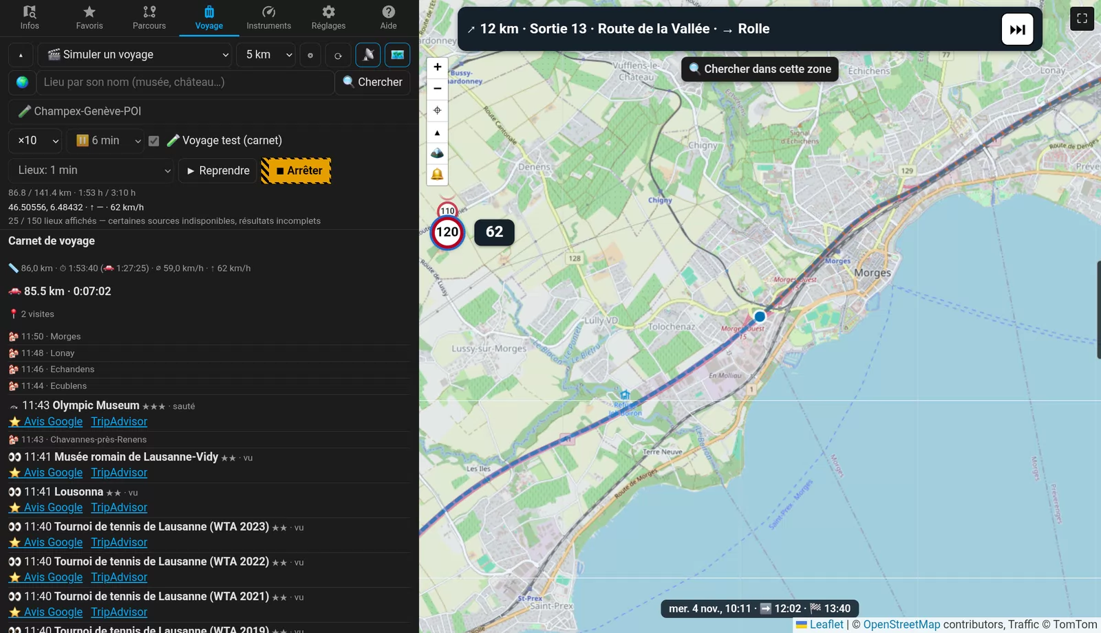
The logbook: distance, time and every stop

Logbook

The logbook writes itself

  • Distance, time and every stop, on foot and by car, even with the screen off.
  • Trips, plans and favourites filed by country, region and city.
  • Export to GPX, CSV, Markdown and PDF with photos.
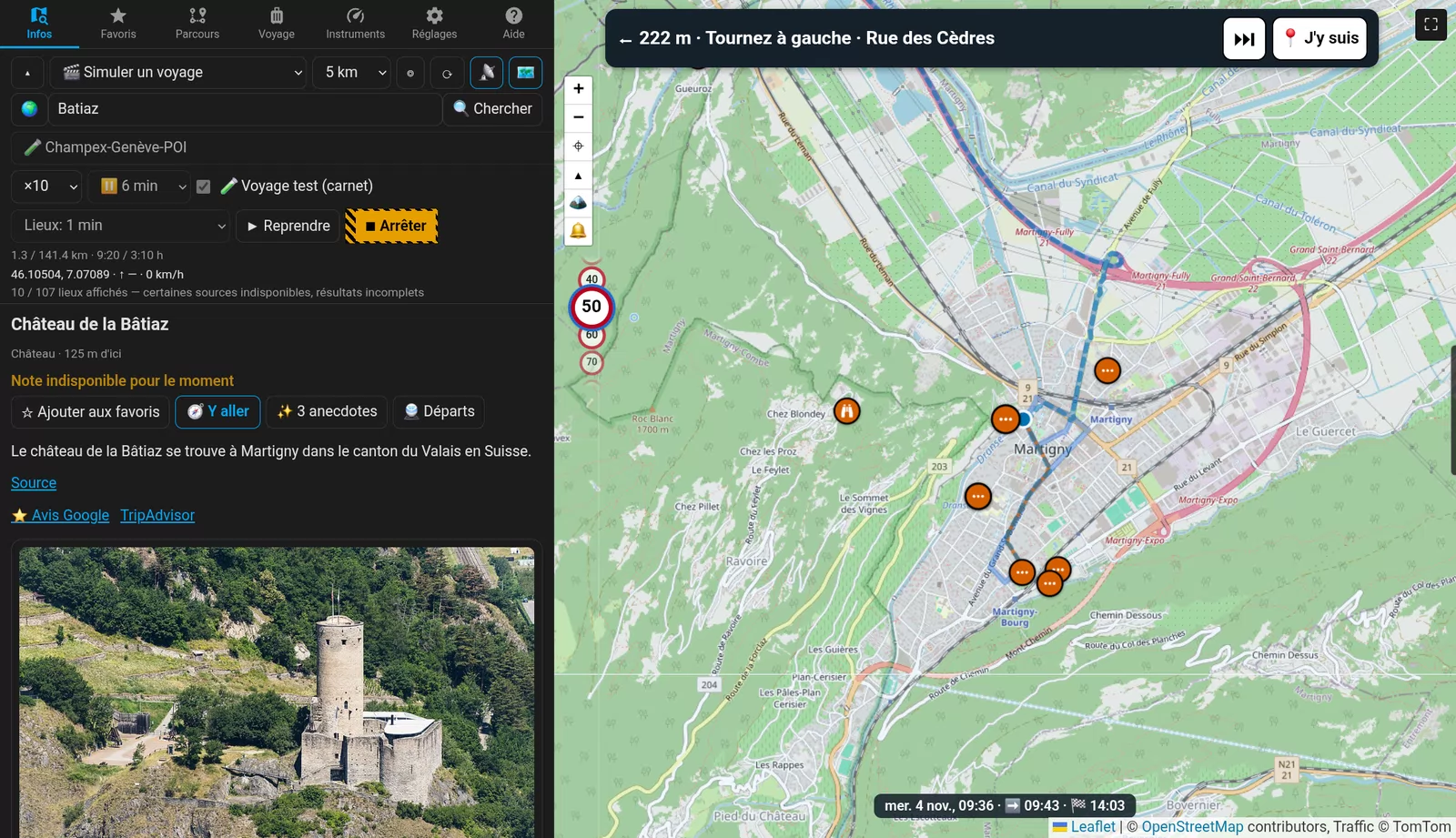
La Bâtiaz above Martigny on the map

Maps

The right map for the outing

  • Standard, satellite, 3D relief, the TomTom map by day and night, swisstopo and hiking trails in Switzerland.
  • 🆕 Mapy.com hiking and winter maps: trails, huts, ski runs and lifts, across Europe.
  • 🆕 France’s IGN SCAN 25 map at 1:25,000, with an IGN key.
Favourites sorted by type or by place

Your data

No account, on your device

  • Nothing about you or your trips goes to a Nestour server. Your API keys are your own and stay on the device. 🆕 Once a day the app only asks for the newest version number; you can turn that off.
  • 🆕 Light or dark: follows the device’s theme, or stays light or dark.
  • 🆕 ⬇ Export keys file: hand your keys to your other phone or tablet in one file (with a licence; Import works in the beta too).
  • 🆕 A data limit in money (5, 10, 20… a month), handy when roaming.
  • 🆕 Contacts from the phone and from Nextcloud as destinations, next to Google.
  • 🆕 Your own OpenStreetMap search server (Overpass), with the public servers as backup.
  • 67 languages (4 in the beta: English, French, Chinese, Finnish), metric, US or UK units, a colour-blind-safe palette.

Try it on the road

Free in beta until 28 February 2027, on Android, Windows and Linux.

Get the beta